THE EXPERIENCE
An innovative walking tour inspired by Comte Russel, pioneer of the Spanish-French pyreneism and that visits both the north and south side of the Pyrenees.
It is designed to be developed autonomously or guided with specific maps of the route and by means of tracks.
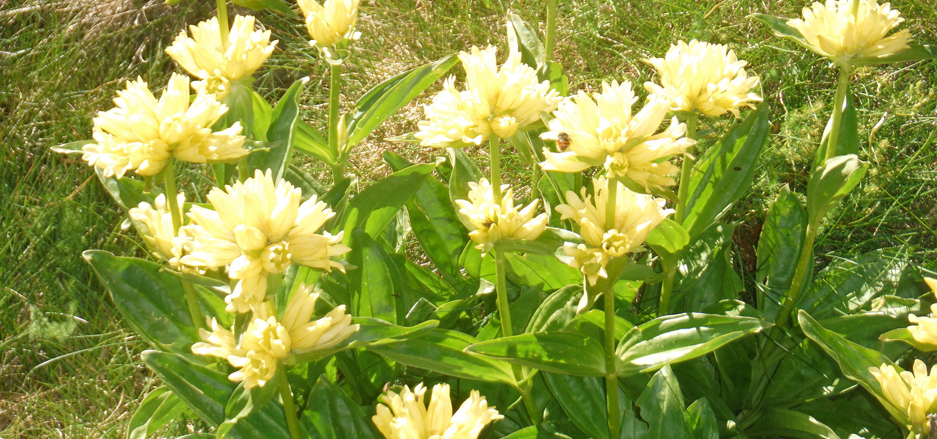
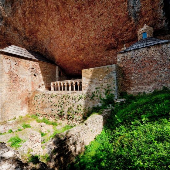
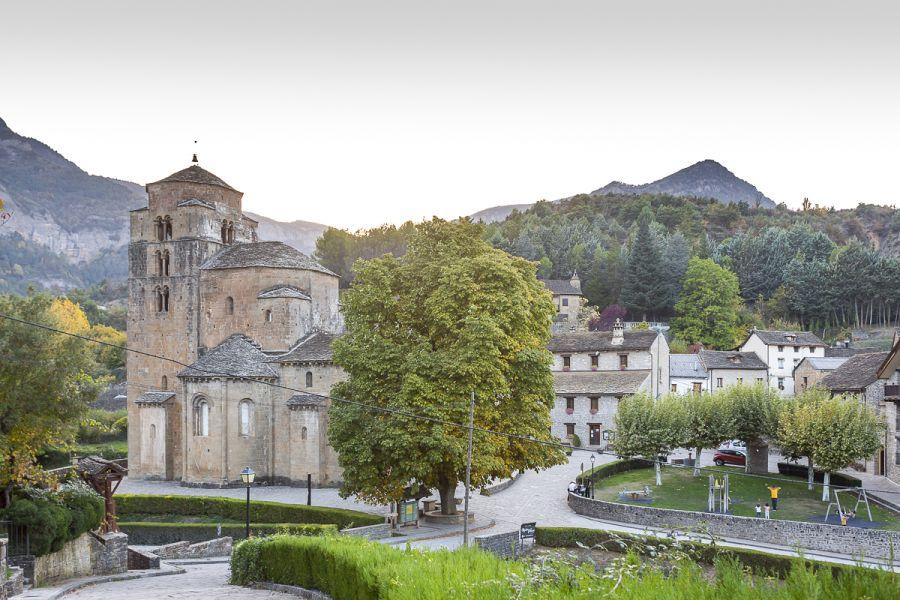
In Aragon the trail has five balanced stages for medium level hikers, it does not have any complicated pass nor is any route excessively long. The smugglers’ trail passes through some emblematic places and villages of the Pyrenees such as Canfranc, Sallent de Gállego or Escarrilla.
BOOKING AND CONTACT
ARAGÓN AVENTURA, TREK Y EXPEDICIONES, S.L.
C/ Los Pastores, 12
22700, Jaca (Huesca)
651 611 731/964 443 325
Arrival
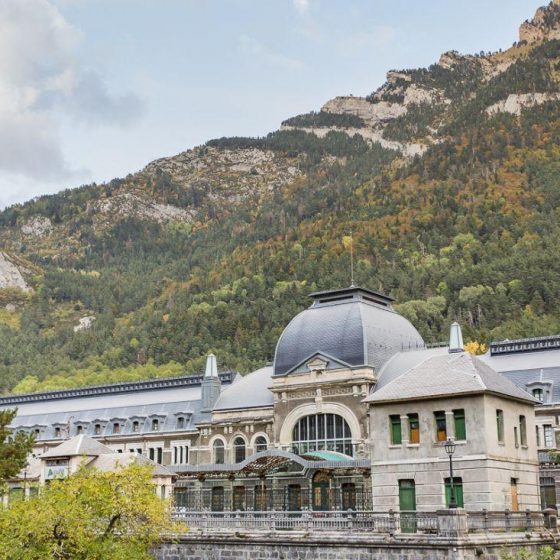
It is advisable to arrive if possible the previous afternoon, the purpose is to get acclimatized to the atmosphere of the place. We have all kinds of accommodations from Jaca to Canfranc. The Pepito Grillo hostel in Canfranc can serve as a reference for the departure. The tourist office can inform us about any activity for that afternoon.
Canfranc Station – Ayous
Refugio de Pepito Grillo (Canfranc Estación) – Refugio de Ayous in the French Pyrenees. The route ascends towards the Somport Pass along the Aragonese section of the Camino de Santiago, that starts at this border crossing. From here, we continue for 2 km along a road that takes us to the ski resort of Astún. After the last building to the east of the urbanization, a zigzagging forest trail takes us to a waterfall, from here the road becomes a path and takes us into the valley, to arrive after passing the Ibón de Escalar on its left side to the Collado de los Monjes with the option of climbing to the peak of the same name. Then, after passing the pass, we descend through a landscape of beautiful lakes to the Ayous refuge. The refuge is maintained so we have dinner and lunch services, lodging and breakfast.
Refuge of Ayous- Refuge of Pombie.
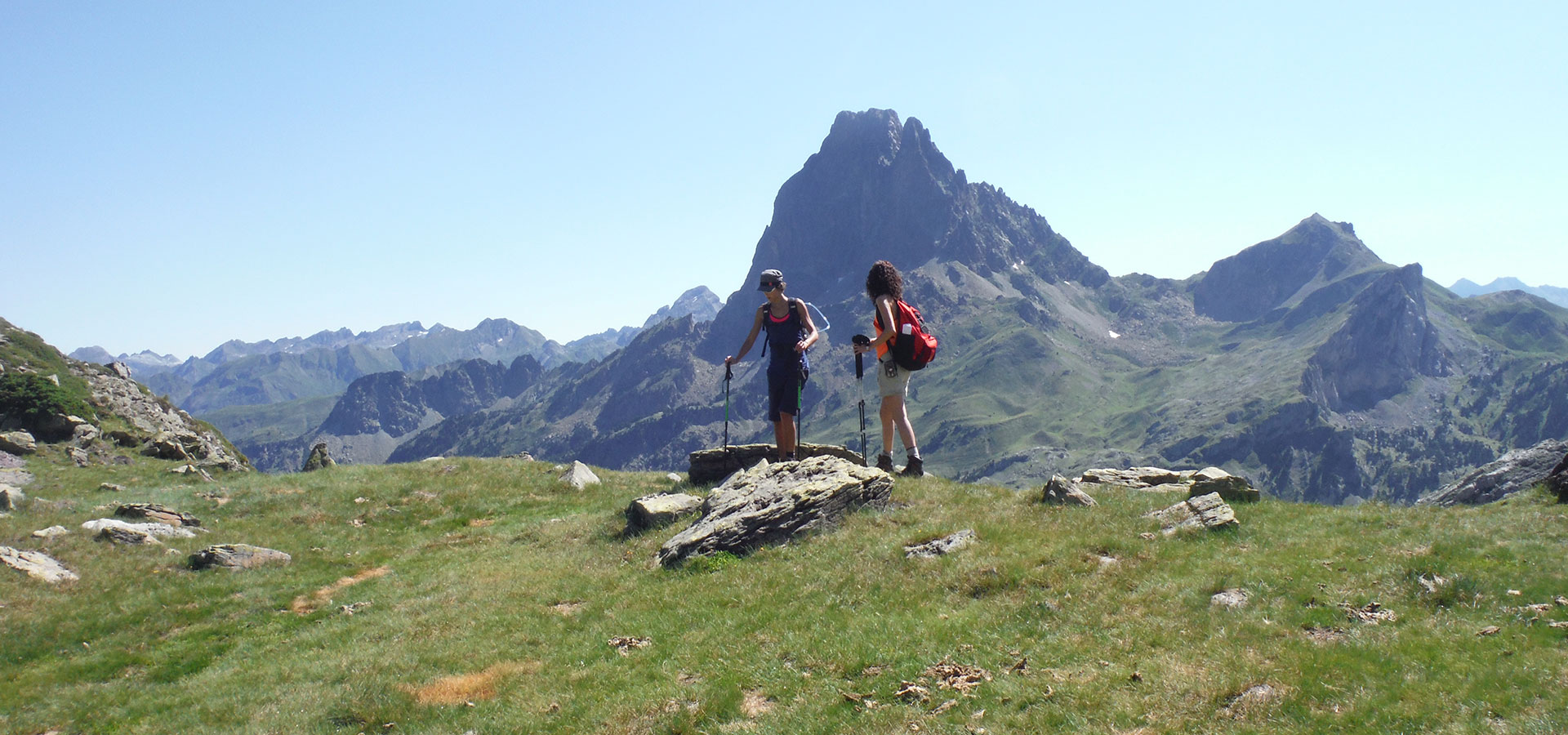
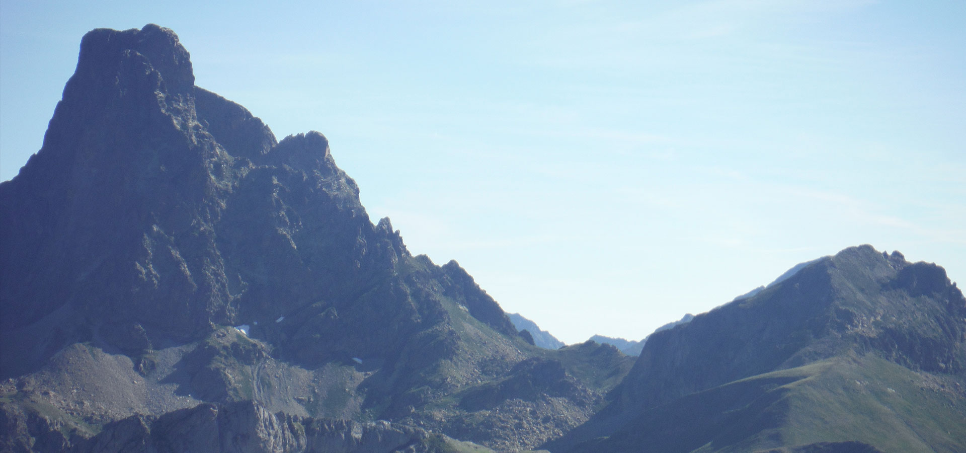
After breakfast, we descend to the bottom of the valley of Bious Artigues, we have several options to reach the refuge of Pombie, some longer than others, depending on the spirit of the group we will choose the most appropriate. The longest one is the famous “Tour du Midi”, about 6 to 7 hours of walking through very beautiful places and which is represented in the attached hiking map. The Tour du Midi is a classic Pyrenean hiking route. We descend to the lake of Bious Artigues and leaving the road, we turn off before heading south towards the col of Suzon in France. Ascending through a beautiful forest we pass the base of the normal route of the Midi D’ Ossau, a slender and huge pyramid of volcanic rock. The path is very well trodden by the passage of hikers.
Another interesting but shorter route would be to take the path that leads to the coll de Peyreguet, which offers the opportunity to climb the Peak of the same name. Then continue down to the Pombie refuge, located at the foot of a small glacial lake. It is a meeting point for hikers and climbers, a mythical place in the mountain as a refuge. Here we will have dinner and lodging services at the foot of the Midi d`Ossau.
Refuge of Pombie – El Portalet – Descent through the Ministirio Valley – La Sarra – Sallent.
From the door of the refuge of Pombie, starts the path that takes us to the border road crossing of the Portalet, here we will have contact with civilization as it is a border crossing with a wide range of commercial offer.
Once past the old police building and the first store, a forest track comes out that gives us entrance to the left bank of the Tena Valley. We will follow the little-traveled forest track to continue through an area of loose rocks of gray limestone and take the forest track that leads to the pastoral area of the Corvas. Already from this construction we can see the semi-hidden hill of the Ministirio that gives us passage to the valley where we will descend. Located to the north of our position, a hanging valley opens its doors before descending in a southeasterly direction through a small valley and wooded ramps towards the bottom of the Aguas Limpias river, where we will inevitably cross the path of the Sarra, which joins Sallent de Gallego with the Respumoso refuge at the foot of the Balaitous; the crossing is located just in a flat place called Tornadizas. We will turn west and in 20 minutes we will be in La Sarra, a point where the mountaineers who climb the Balaitous usually leave their vehicles.
A bridge with lots of signposts invites us to cross, we can do so because on the other side there is a Bar – cafeteria, or we can continue along the GR marked in white and red to Sallent de Gallego. Once at the head of the dam (road) we can go down to the left to Sallent or to the right, either option is nice.
From here we will continue along a simple path to Sallent de Gallego where we will arrive by foot as in the villages of Nepal.
Sleep and have dinner at the Hotel Balaitous de Sallent (typical 1 star hotel) “the most traditional hotel in Sallent”. Or have a drink at Casa Martón which was the place where Count Russell spent some nights among the locals, any accommodation in the small village is suitable for travelers walking.
Sallent – Escarrilla.
These two villages are separated by a mountain, the Pazino, for the guides of the area, the most interesting viewpoint in the valley, considering its scenic value. It is an easy ascent that takes us to its summit from the village of Sallent de Gallego, passing through the coll de Pazino. The view is spectacular as it is located in the center of the Tena Valley. A unique viewpoint between mountains of 3000 meters. Undoubtedly the Pazino has a special character for a summit with a simple ascent.
After seeing the landscape of the limestone that surrounds us, we will descend to the village of Escarrilla by a marked and sometimes aerial path.
From the village of Sallent we climb 150 m up the road to a first wooden signpost, we follow the path that leads us near the cemetery, from here we can see a forest track on the other side of the road, it is indicated with a continuity sign, we will climb between wide zigzags and pass near a large white tower. We will reach the pass in a few more loops of the road. From here it descends through the meadow until we find a sign heading east to the valley, which makes us descend towards the Escarra ravine, which we border along the upper left bank, with a marked path. We continue descending without leaving the path, to reach the entrance of the road tunnel, the village of Escarrilla.
The village has all the necessary services, camping, hotels, supermarkets, etc…
Escarrilla – Canfranc.
We will leave Escarrilla by a footpath indicated with a board that puts the Tarmañones, after a few meters of forest track the road ascends rapidly through the forest, look carefully at the marks not to lose it at each stream crossing, we will eventually see milestones. This path leads us to a forest track and after passing a gate, walking a few more meters towards the valley, there is a trail slightly marked with a milestone and a sign SC (Senda Contrabandistas), where we continue because the trail leads to the coll de Tarmañones. This pass gives us a view of the dammed lake of Escarra, which we will border downhill on its orthographic right side, continuing to the bottom of the valley, between meadows and road ruts to go up to the pass located in west orientation, which is the pass of Escarra, from here we will see at the bottom of the valley the path that takes us to Canfranc, it is a branch of GR 11 marked in white and red. In Canfranc we finish the route of the Senda de los Contrabandistas.